
OMANCORSNET
A network of Continuous Operation Reference Station (CORS) that will continuously record Global Positioning System (GNSS) signals and provide organization, within the Sultanate of Oman, real time as well as post-processing positioning capabilities using single GNSS receivers (Rover). This network provide high accuracy Processing according to Real Time Kinematic (RTK) mode and the post processing system as well as providing data processing service through the online processing system. Improves the Precision of GNSS Collected Data.
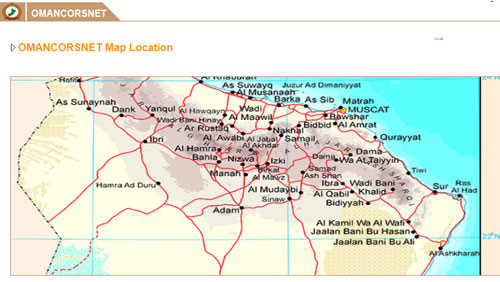
It also provides a data processing service through an online processing system. e project includes the installation of 47 permanent operating points, distributed geometrically covering all parts of the Sultanate with a plan to increase this number in the coming years to exceed 60 stations. Each station has a coverage of 70 km radius.
The National Survey and Geospatial Information Authority (NSGIA) is not responsible for any errors in the results of the measurements, whether they are caused by a defect in the satellite systems or a defect in the performance of the network, and in the event of a network failure, NSGIA will ensure to provide alternative ground control points for the work area within a radius of 70 km.
| I have read and understood the Terms and Conditions | |