
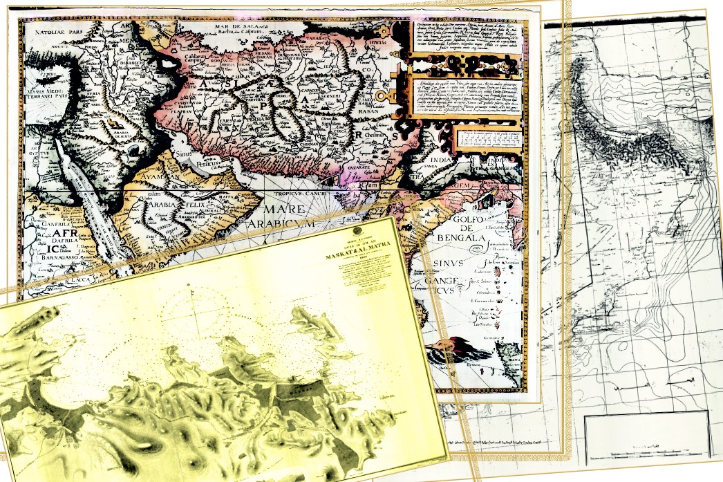
Historical Map
Oman, through the passage of time periods, has always been the focus of attention and interest of international travelers and geographers of various races and nationalities, who stood on the land of Oman for various purposes. Some of them were attracted by the geographical potentials of Oman, and some of them were stopped by its ancient history, and some were amazed at its natural foundations.
Since its establishment in 1974 under the name of the National Survey Agency, the National Survey and Geospatial Information Authority has sought to cooperate with its counterparts from the surveying authorities around the world to obtain the topographical maps of the Sultanate from its official and approved sources, so that these maps, with the geographical information they contain, have become an effective tool for the National Survey and Geospatial Information Authority to supplement various programs Patriotism and participation in the areas of planning and advancing development in the Sultanate.
In the Map Library of the National Survey and Geospatial Information Authority there is a section on historical maps containing many ancient topographic maps of different scales. And considering that maps are considered one of the most successful methods for reading history and anticipating the future, the National Survey and Geospatial Information Authority has selected several specific models of historical maps to be presented to you through this national platform.